¿Prefiere este estudio de caso en pdf?
¡Aquí lo tienes!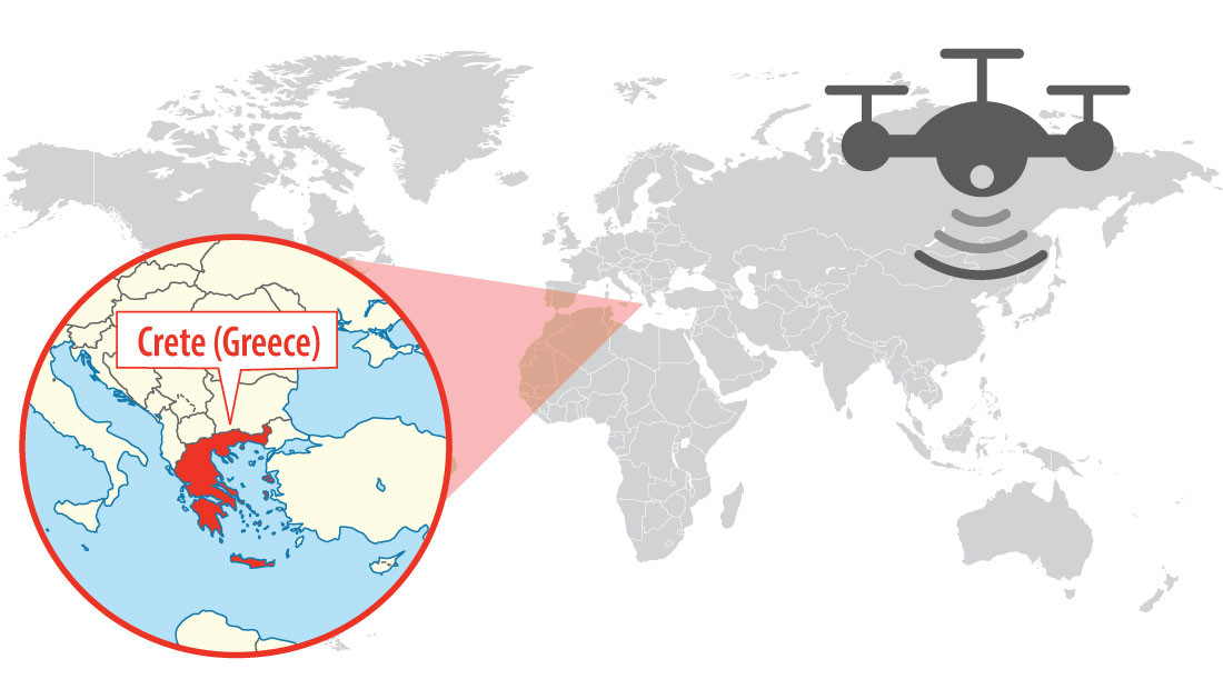
Localización de Creta (Grecia)
Con más de 1.400 islas, los transportes marítimos y aéreos son habituales en Grecia. Las pruebas realizadas en Santorini demostraron que las concentraciones de partículas ultrafinas eran hasta 100 veces superiores cerca de los puertos. Pero en los últimos años, la situación ha mejorado gracias a la mejora de los combustibles y a la sustitución de la vieja tecnología contaminante. La evaluación de la calidad del aire y la contaminación se ha realizado tradicionalmente mediante vigilancia terrestre. Complejidad del terreno y barreras físicas suelen complicar la recogida de datos, aumentando los costes y disminuyendo la eficacia y el rendimiento. En el Laboratorio de Sistemas Industriales, Energéticos y Medioambientales de la Universidad Técnica de CretaAntonios Koutroumpas (estudiante de licenciatura) y Konstantinos Loukakis (estudiante de máster), con la ayuda de Spiros Papaefthimiou (profesor asociado), desarrollaron una tesis sobre sistemas de producción con el título: "Uso de vehículos aéreos no tripulados (UAV) para la visualización en 3D de contaminantes atmosféricos en zonas urbanas". en el que un pequeño dron equipado con la plataforma de sensores inalámbricos de Libelium Waspmote se introdujo para adquisición de datos in situ.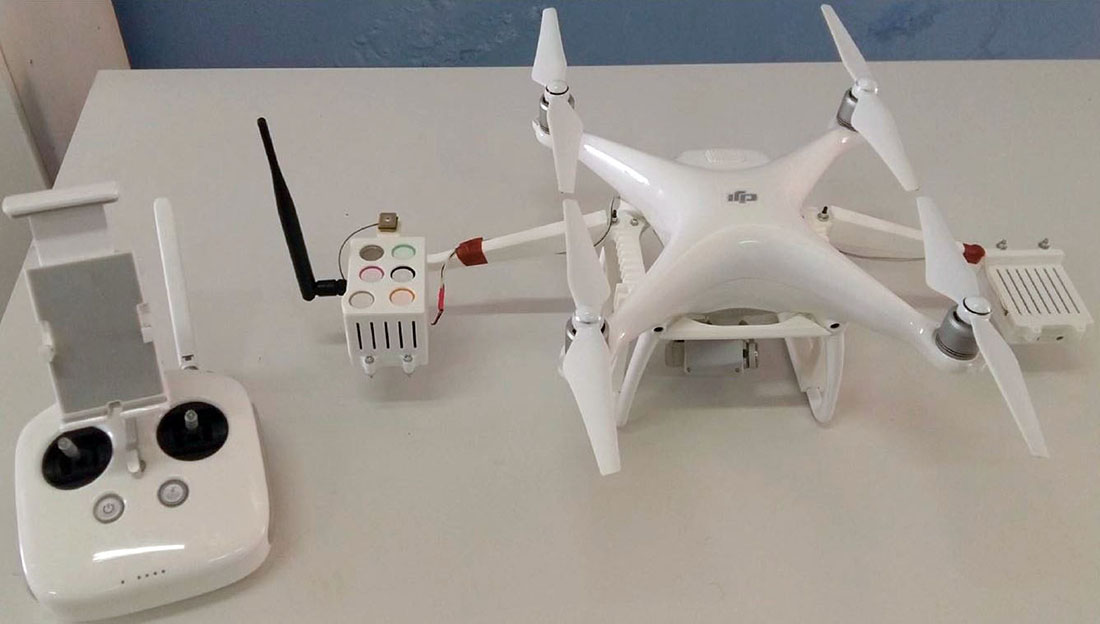
Drone + Plataforma de sensores inalámbricos de gases calibrados
El estudio se llevó a cabo en el campus de la Universidad Tecnológica de Creta, en la ciudad de Chania. El objetivo principal de la tesis era capturar las emisiones contaminantes del aire y crear un Visualización 3D herramienta de una zona determinada. Los sensores fueron capaces de medir: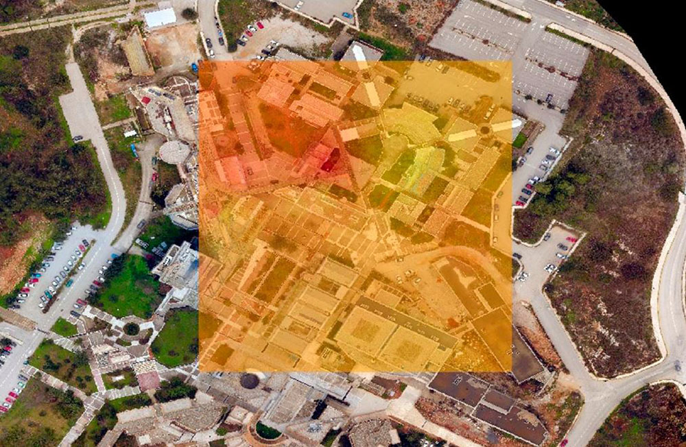
Mapa térmico de gases obtenido con el dron sensorizado
El desarrollador eligió la plataforma de sensores inalámbricos de Libelium por "su capacidad para integrar muchos protocolos en un solo nodoque proporciona capacidades para implementaciones de arquitecturas multi-WSN en las que pueden existir comunicaciones independientes dentro de una única red". Los sensores se fijaron al UAV gracias a unas cajas personalizadas impresas con una impresora 3D, una para las placas de los sensores y otra para contener la batería. Mientras el dron vuela, los sensores toman medidas y envían, vía GPRSEl información directamente a la base de datosdonde se procesa.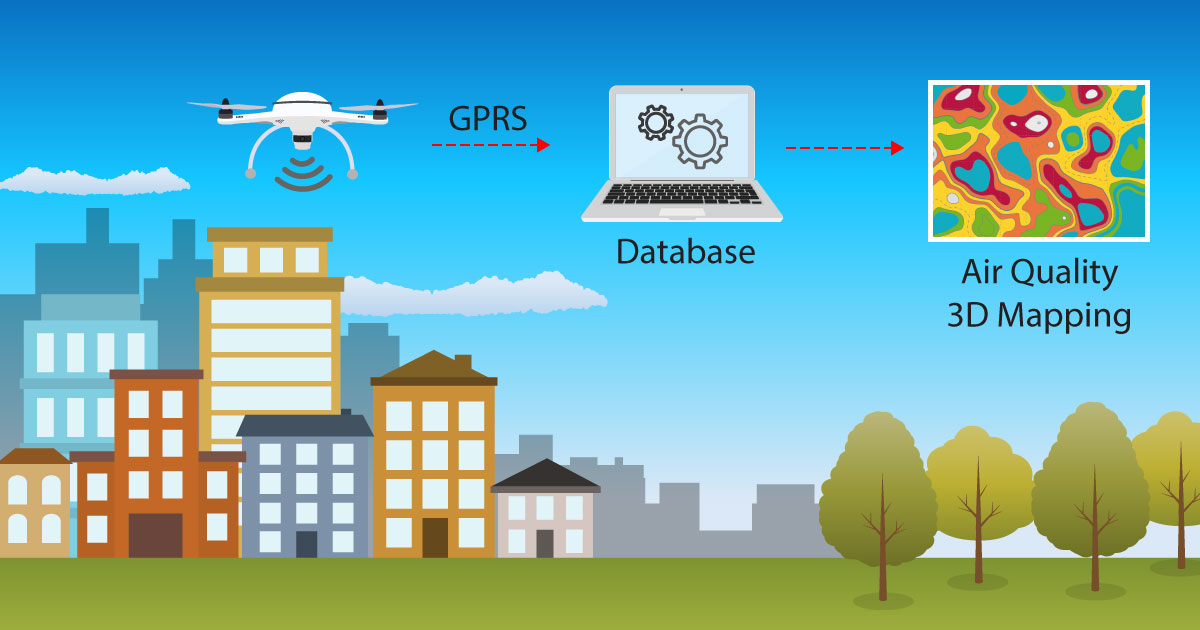
Esquema del proyecto
El autor de la tesis es optimista sobre el futuro uso de UAV en aplicaciones de calidad del aire gracias a la capacidad y flexibilidad de estas plataformas. El trabajo presentado desarrolla conceptos y técnicas innovadoras para visualizar los contaminantes atmosféricos en 2D y 3D. Los principales objetivos de esta tesis fueron crear una malla 3D de la zona de estudio y visualizar estos datos sobre el modelo 3D georreferenciado para una mejor comprensión del distribución de los contaminantes atmosféricos. Algunos de los resultados más importantes obtenidos gracias a esta actuación fueron la emisión de CO2 de la chimenea de la universidad y del aparcamiento.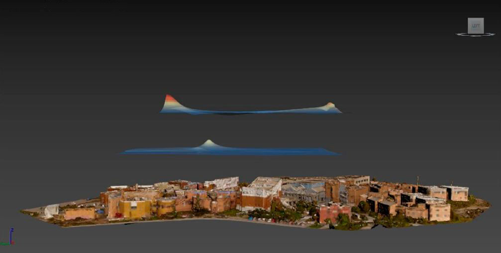
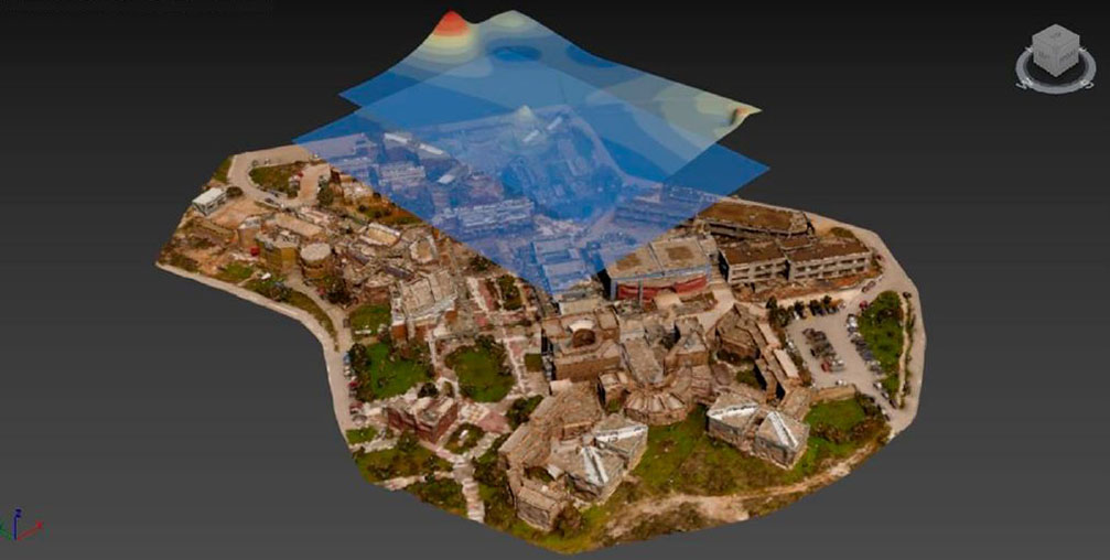
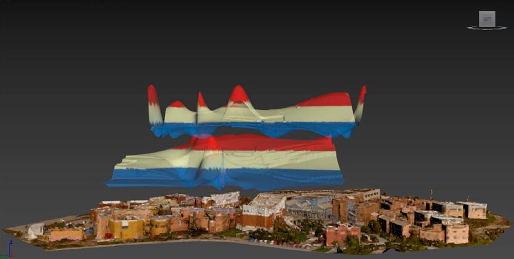
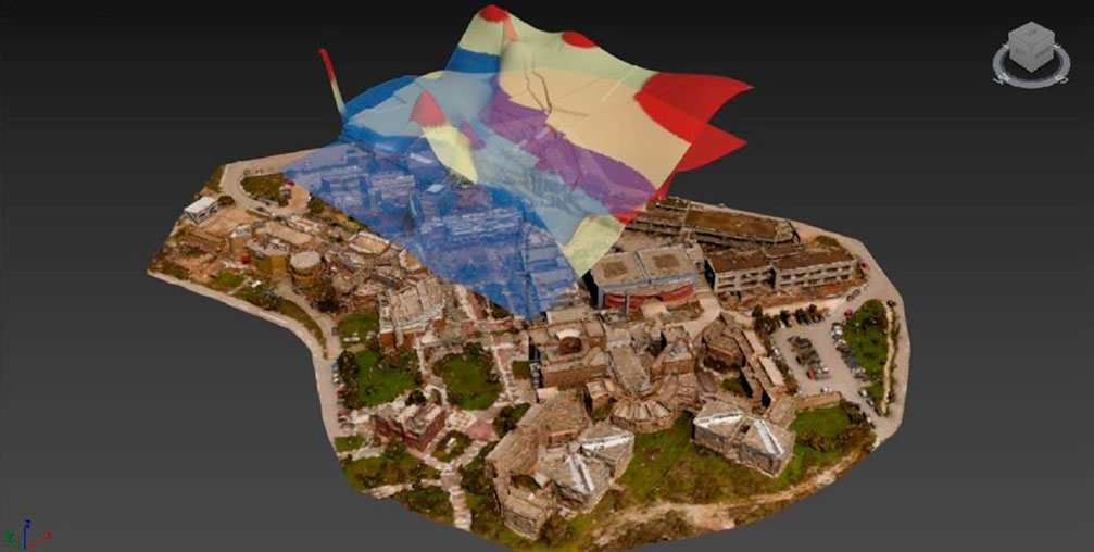
CO y CO2 mapas tridimensionales
La tesis deja la puerta abierta a la aplicación de esta metodología disruptiva en zonas donde la alta concentración de contaminantes atmosféricos sea preocupante, como por ejemplo zonas industriales, puertos o aeropuertos. El uso de más de un UAV podría ofrecer datos simultáneos en distintas ubicaciones y alturas, dando la oportunidad de investigar la calidad del aire a mayor escala. Se trata de no es la primera vez que la plataforma de sensores inalámbricos de Libelium se adapta en un sistema similar. Recientemente se ha implantado en Rusia un sistema inteligente de vigilancia del agua con drones para medir contaminación en la mayor reserva de agua de Eurasiasituada en el río Volga.Este proyecto de IoT contribuye a alcanzar los siguientes Objetivos de Desarrollo Sostenible:
Mantente al día en IoT
Únete a la Comunidad Libelium y recibe las últimas noticias sobre IoT, eventos importantes, proyectos, casos de éxito y mucho más en su inbox.
Más de 18 años de experiencia en IoT.


© Libelium Comunicaciones Distribuidas S. L. | Términos y condiciones | Política de privacidad | Política de Cookies | Política de Seguridad | Canal del informante